Utility Navigation
Menu
menu
FOR IMMEDIATE RELEASE: January 23, 2020
For More Information:
Glenville State College
Public Relations Department
(304) 462-4115
GLENVILLE, WV – Appalachian Regional Geodetic Advisor for the National Geodetic Survey (NGS), Jeff Jalbrzikowski, will be at Glenville State College on Wednesday, February 12 at 12:00 p.m. for a presentation titled “Geodetic Surveying in the USA – Past, Present, and Future.” The presentation will take place in room 227/228 of the Waco Center and is free and open to the public.
The National Geodetic Survey is a division of the National Oceanic and Atmospheric Administration whose focus is on land surveying, remote sensing, Global Navigation Satellite System data, geodesy, and more. They define geodesy as the science of accurately measuring and understanding three fundamental properties of the Earth: its geometric shape, its gravity field, and its orientation in space, as well as the changes of these properties with time.
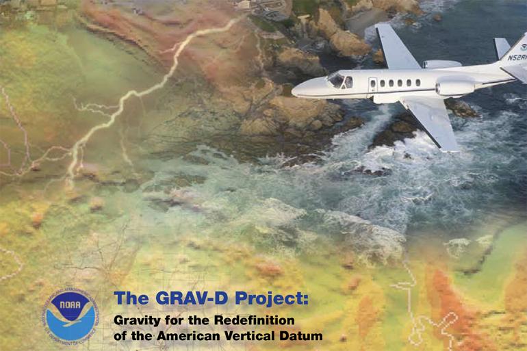
Jalbrzikowski will discuss how geodesy relates to the daily work of land surveyors all over the country. Additional presentations will also focus on previous national survey projects including the North American Datum of 1983 (NAD 83) and the North American Vertical Datum (NAVD 88). Future work of the NGS to replace those dated surveys with improved models via GPS-derived heights, also known as GRAV-D, will also be discussed.
For more information, contact the GSC Department of Land Resources by calling (304) 462-4135.

